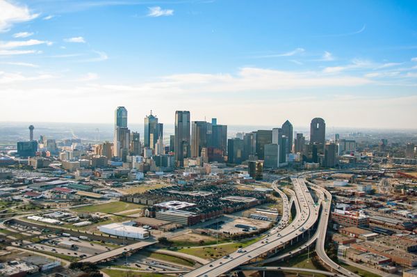
Texas residents along the Gulf Coast were warned Tuesday that life-threatening flooding is possible this week, as the National Hurricane Center (NHC) designated a sprawling rainstorm over South Texas as Potential Tropical Cyclone One and issued tropical storm watches for parts of the upper Texas and southwestern Louisiana coasts.
After days of heavy downpours had already soaked rivers, roads and neighbourhoods from Corpus Christi to Houston, with flash flooding on Sunday night forcing the closure of Interstate 35 in both directions in Waco. Forecasters now fear that a slow-moving tropical disturbance, currently just inland along the south Texas coast, could briefly move over the Gulf of Mexico, strengthen into a tropical storm and then sweep back across the same sodden ground later this week. Some areas could see more than 10 inches of additional rain on top of what has already fallen.
BREAKING: Potential Tropical Cyclone One has been designated. Heavy rain and dangerous flooding are expected from the Texas coast into parts of Louisiana, Mississippi and Alabama through Thursday. Some areas could receive up to 12 inches of rain. pic.twitter.com/sNSe9wabJf
— The Weather Channel (@weatherchannel) June 16, 2026
National Hurricane Center Flags PTC 1 as Flood Threat, Not Just a Name
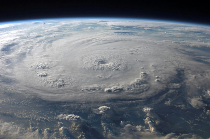
At 11 a.m. EDT on Tuesday, the National Hurricane Center formally tagged the system as Potential Tropical Cyclone One, a technical label that sounds arcane but carries very practical consequences. The PTC status means the storm is not yet a tropical depression or tropical storm with a clear, closed circulation, but is close enough to land and organised enough that it poses a concrete threat.
That designation lets forecasters issue tropical storm watches and warnings even before the system has fully formed. Meteorologists have watched this disturbance, previously known as Invest 90L, for several days as it threw wave after wave of rain over the Texas coast.
For now, satellite imagery shows the system's centre still over land in South Texas, limiting its chances of rapid development. If, as several models suggest, that centre drifts back over the warm waters just off the Texas coast late Tuesday or Wednesday, the equation changes. Sea-surface temperatures in that patch of the western Gulf are around 29°C, more than enough to support a short-lived tropical storm, given the deep plume of tropical moisture already feeding in from Central America and the eastern tropical North Pacific.
Forecasters stress that residents should not fixate on whether this disturbance earns the first name of the Atlantic hurricane season, Arthur, or remains a nameless PTC. On average between 1991 and 2020, the first named Atlantic storm arrives by 20 June. This one may or may not join the list. The risk, however, is not theoretical. The NHC has warned that flooding could become life-threatening very quickly in vulnerable areas.
One indication of just how juiced the atmosphere is came from a weather balloon launched over Corpus Christi on Monday night. It measured 2.74 inches of 'precipitable water' in the column of air above the city, the ninth-highest value in more than 50,000 soundings taken there over 73 years, and the highest outside the core summer period from late June to late September.
🌧️ A surge of tropical moisture turned parts of Waco into a flood zone Sunday night. Slow-moving thunderstorms dumped rain at rates of 2 to 4 inches per hour, triggering widespread flash flooding across the Waco area.
— Chron.com (@chron.com) 2026-06-15T19:28:28Z
Forecast Models Split, But National Hurricane Center Focused on Rain
Forecast guidance is, as usual with messy Gulf systems, something of a muddle. The American GFS model shows a brief, tight circulation forming just southwest of Corpus Christi, pushing the heaviest downpours along the southeast Texas coast and into southern Louisiana through Thursday morning. Under that scenario, isolated spots in southern Louisiana and southern Alabama could collect more than nine inches of rain.
The European model keeps the circulation broader and closer to the central and southeastern Texas coastline through Wednesday, spreading strong thunderstorms along much of the Texas coast and then into the Deep South. It projects rainfall totals surpassing six inches from southeast Texas through Louisiana, Mississippi and Alabama, with all of that falling on terrain that has already been drenched.
The National Hurricane Center has officially designated Potential Tropical Cyclone One in the Gulf!
— Max Velocity (@MaxVelocityWX) June 16, 2026
This system is expected to briefly strengthen to Tropical Storm intensity and bring potentially life-threatening flash flooding to portions of the Deep South over the next few… pic.twitter.com/w7Q2JuNJhd
Emergency planners in coastal counties are less concerned about wind than water. Even if the system only briefly achieves tropical storm status, the combination of already-saturated soils, high tide cycles and repeated storm bands could overwhelm drainage in low-lying communities.
Nothing about the eventual track or intensity of Potential Tropical Cyclone One is fully locked in, so all projections should be treated with a degree of caution. But there is firm agreement on one point: this is shaping up to be a rain event, not a wind story.
That matters in a region with a painful memory of what slow, sloppy tropical systems can do. Hurricane Harvey in 2017 stalled near the upper Texas coast after making landfall as a Category 4 hurricane and dropped an estimated 24.5 trillion gallons of rain on Texas and Louisiana. Nederland, near the state line, recorded 60.58 inches, the highest known total from any tropical cyclone in the contiguous United States.
Weaker storms have been no kinder. Tropical Storm Claudette in 1979 dumped 42 inches of rain in 24 hours on Alvin, southwest of Houston. Tropical Storm Allison's multi-day siege in June 2001 flooded around 70,000 homes in the Houston area, killing 50 people and causing $8.5 billion in damage. More recently, Tropical Storm Imelda in 2019 delivered more than 40 inches of rain in places, triggering mass rescues and about $5 billion in damage. A 'no-name' disturbance over Louisiana in August 2016 dropped more than 31 inches, killing 13 and costing $14 billion.
This week's deluge will not match those historic outliers, but it is tapping into a familiar pattern. While Gulf waters are only near average for mid-June, the disturbance is feeding off unusually warm waters in the eastern tropical North Pacific, where a months-long marine heatwave and emerging El Niño have created a rich moisture source streaming north.
There is, awkwardly, one upside. The Texas coast has been wrestling with a deep, long-term rainfall deficit. Short-term drought conditions have eased, but groundwater and reservoirs remain depleted. As of 13 June, NOAA estimated that parts of the central and upper Texas coast needed roughly 19 to 20 inches of rain in a single month to climb out of intense long-term drought. Corpus Christi's main reservoir, Choke Canyon, has not been full since 2008 and, along with Lake Corpus Christi, was about 8 per cent full, according to state climatologist John Nielsen-Gammon, prompting city officials to consider emergency water restrictions.
So the same rains that may close roads and inundate homes could also help refill the region's parched water supplies. For coastal Texans already watching the ditches rise, that trade-off will feel uncomfortably familiar.